Tikal
Ancient Maya city and powerful kingdom in the Guatemalan rainforest.

Myotus · CC0
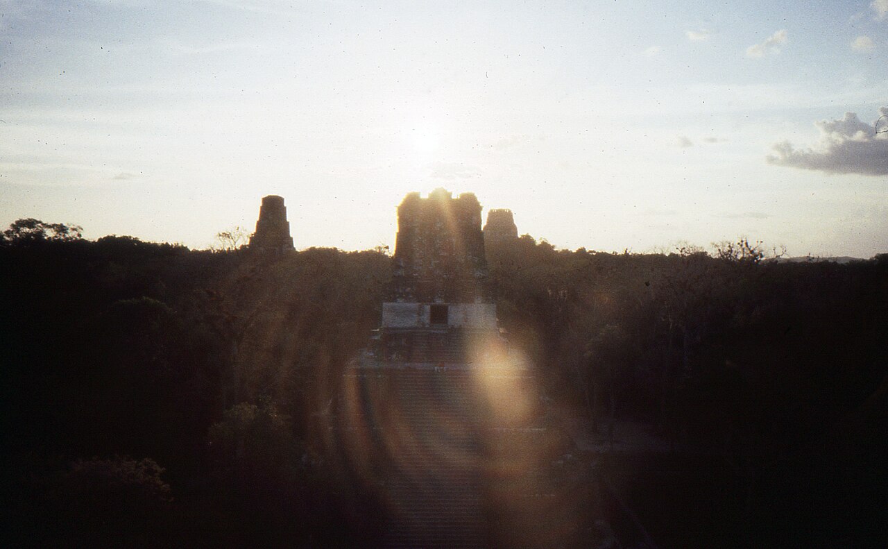
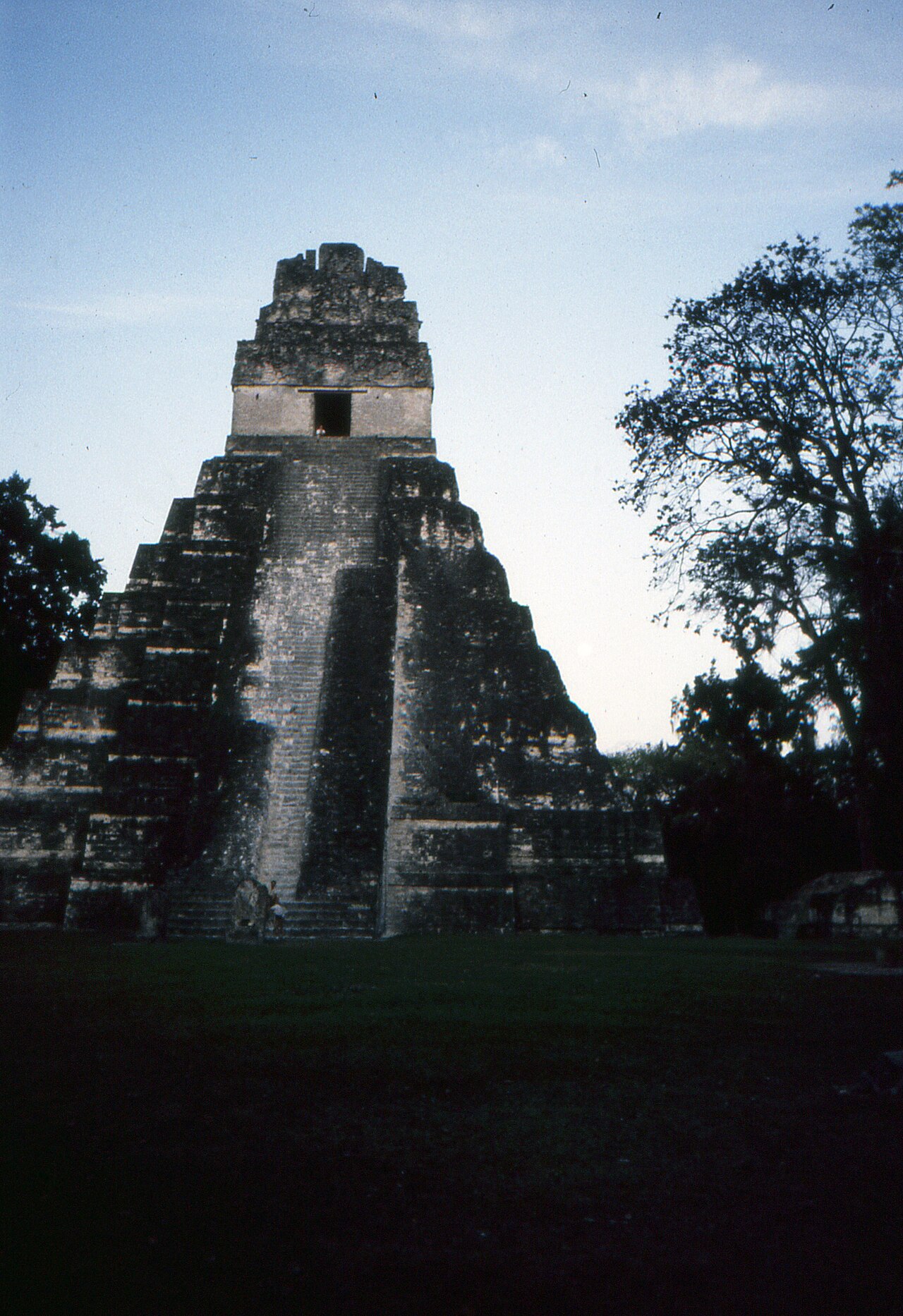
Tikal is the ruin of an ancient city, likely called Yax Mutal, located in a rainforest in Guatemala. It was the capital of a state that became one of the most powerful kingdoms of the ancient Maya, dominating much of the Maya region politically, economically, and militarily during the Classic Period (c. Tikal is one of the largest archaeological sites and urban centers of the pre-Columbian Maya civilization, situated in the Petén Basin of northern Guatemala.
- location
- Petén Department, northern Guatemala
- ancient_name
- Yax Mutal (or Yax Mutul)
- area
- Greater than 16 square kilometers (6.2 sq mi)
Lore & Background
Tikal was the capital of a state that became one of the most powerful kingdoms of the ancient Maya. Though monumental architecture at the site dates back as far as the 4th century BC, Tikal reached its apogee during the Classic Period, c. During this time, the city dominated much of the Maya region politically, economically, and militarily, while interacting with areas throughout Mesoamerica such as the great metropolis of Teotihuacan in the distant Valley of Mexico. There is evidence that one of Tikal's great ruling dynasties was founded by conquerors from Teotihuacan in the 4th century AD.
Reader's Guide
Tikal is the best understood of any of the large lowland Maya cities, with a long dynastic ruler list, the discovery of the tombs of many of the rulers on this list and the investigation of their monuments, temples and palaces. Tikal had no water other than what was collected from rainwater and stored in ten reservoirs. Following the end of the Late Classic Period, no new major monuments were built at Tikal and there is evidence that elite palaces were burned, culminating with the site's abandonment by the end of the 10th century.
Did You Know?
- The name Tikal may derive from ti ak'al in Yucatec Maya, meaning 'at the waterhole'.
- The city covered an area greater than 16 square kilometers (6.2 sq mi) with about 3,000 structures.
- Tikal had no water other than what was collected from rainwater and stored in ten reservoirs.
Political Dominance and the Teotihuacan Thread
During the Classic Period, roughly spanning 200 to 900 CE, Tikal grew into one of the most formidable kingdoms in the ancient Maya world, wielding influence across the region in political, economic, and military spheres. Its reach extended well beyond the Petén Basin, touching interactions with distant Mesoamerican powers such as Teotihuacan in the Valley of Mexico. One of the most striking threads in the city's story is the evidence that a major ruling dynasty was actually established by conquerors arriving from Teotihuacan in the 4th century AD, suggesting an outside hand in shaping Tikal's political trajectory. The kingdom bore the ancient name Mutul, read from its distinctive hair-bundle emblem glyph, while the city itself was called Yax Mutal, meaning 'First Mutal.' This distinction was likely necessary because the rival city of Dos Pilas also adopted the same emblem, prompting Tikal's rulers to assert they were the original bearers of the name. Its great Classic Period adversary was Calakmul, situated 100 kilometers to the southeast, while Calakmul's ally Caracol lay 85 kilometers to the northwest in what is now Belize.
A City Built on Limestone and Rain
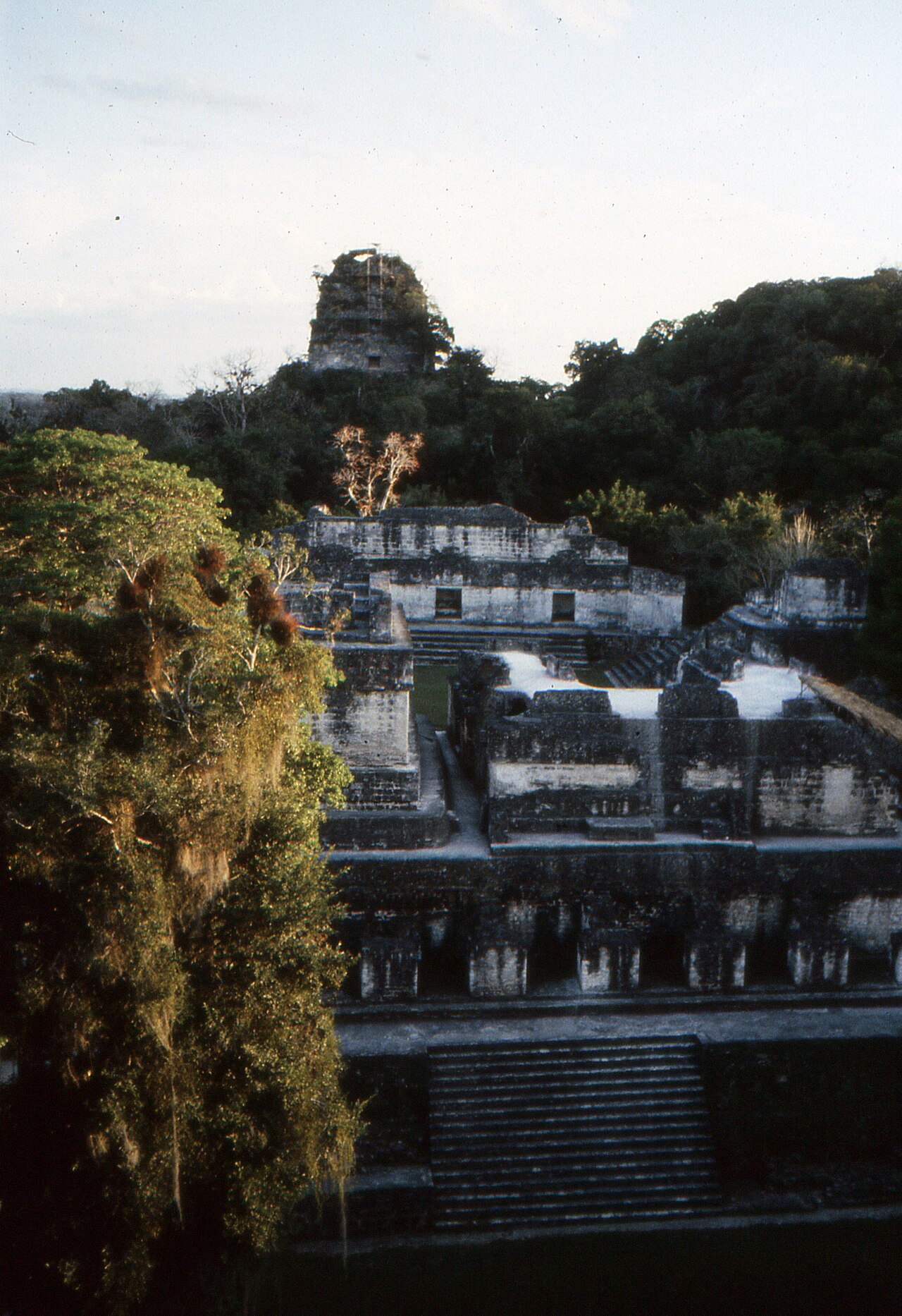
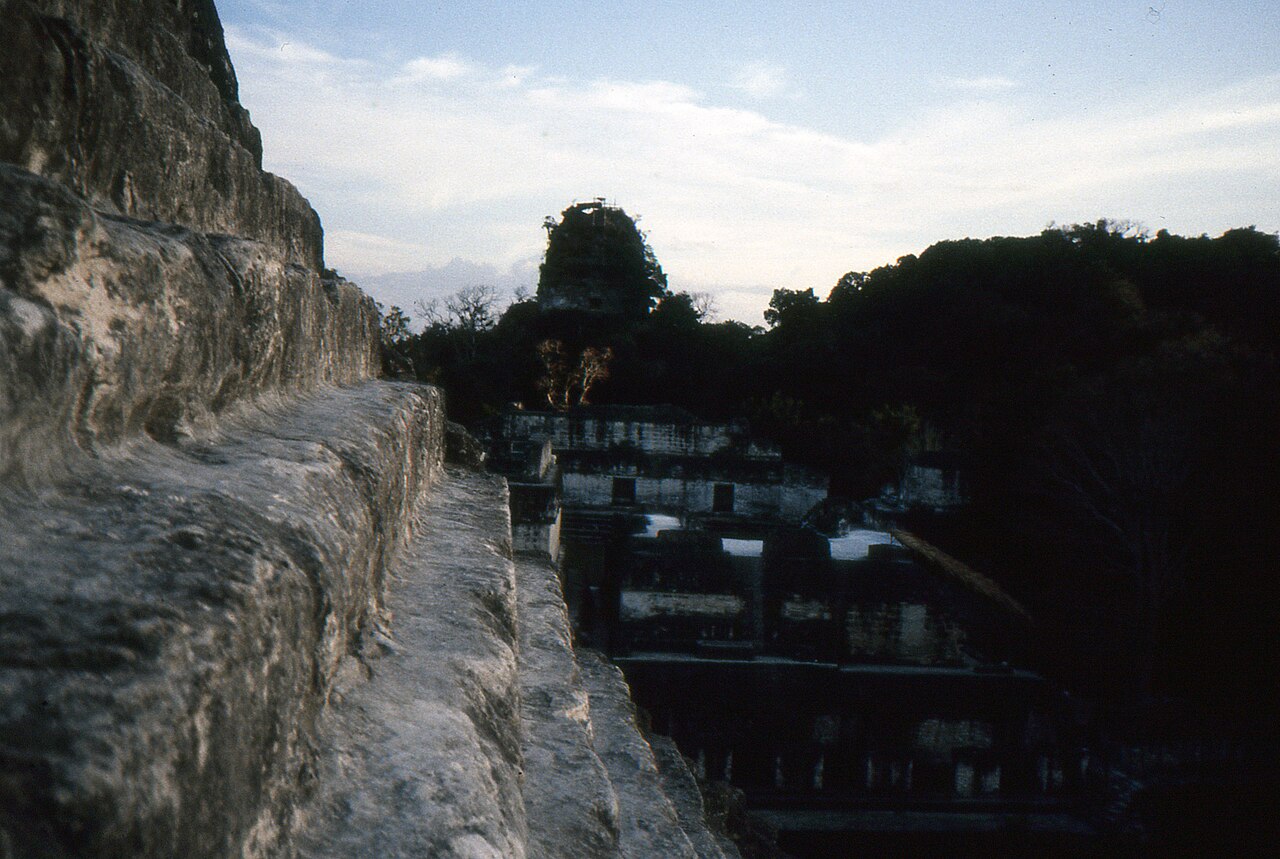
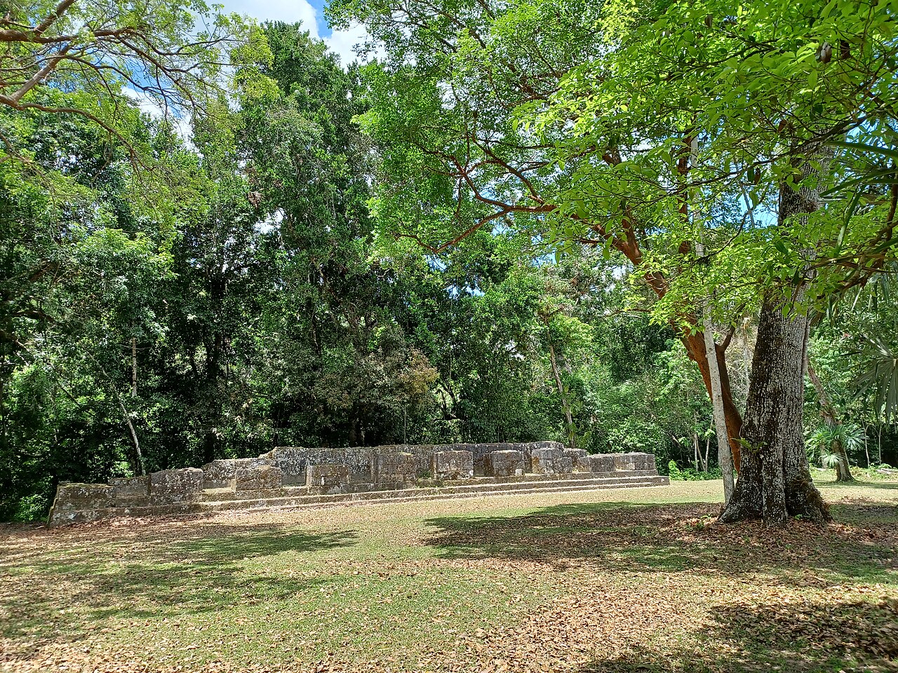
Tikal's physical setting was anything but forgiving. The site rests on a series of parallel limestone ridges that rise above swampy lowlands, and the builders made the most of this difficult terrain by clustering their major architecture on higher ground and linking those platforms with raised causeways that bridged the wetlands below. In total, the mapped city covers more than 16 square kilometers and encompasses roughly 3,000 structures. Perhaps the most critical challenge was water: Tikal possessed no natural river or spring, relying entirely on rainwater collected and stored in ten reservoirs. Average annual rainfall sits at about 1,945 millimeters, yet the timing of rains was often erratic, and prolonged droughts could strike before crops matured, placing the entire population at risk. Twenty-century archaeologists working at the site even refurbished one of those ancient reservoirs for their own use. The surrounding tropical rainforest, home to harpy eagles, howler monkeys, jaguars, and the sacred Ceiba pentandra tree, formed the ecological cradle of lowland Maya civilization.
From Ascendancy to Silence
Monumental construction at Tikal stretches back to at least the 4th century BC, but the city truly reached its peak during the Classic Period. Population estimates for the site vary enormously, ranging from 10,000 to as many as 90,000 inhabitants, though scholars like David Webster argue even those upper figures may be inflated. Growth followed a steady upward curve from the Preclassic era, accelerating sharply between AD 700 and 830 before reversing into a steep decline. The close of the Late Classic Period marked a dramatic turning point: no new major monuments were raised, and there is physical evidence that elite palaces were deliberately set ablaze. These events ran alongside a gradual hollowing-out of the population, a process that culminated in the site's full abandonment by the end of the 10th century. The density figures are all the more remarkable when one considers that extensive swamplands rendered large swaths of the surrounding landscape unsuitable for either farming or habitation, making the sheer scale of human activity concentrated at Tikal all the more extraordinary.
Rediscovery and a Legacy of Understanding
After centuries of quiet beneath the jungle canopy, Tikal was first examined in the modern era in 1848. The name 'Tikal' itself was adopted shortly after that discovery, likely drawn from a Yucatec Maya phrase meaning 'at the waterhole,' a label hunters and travelers applied to one of the site's ancient reservoirs. The city's true ancient name, Yax Mutal, survives in the hieroglyphic inscriptions carved into its ruins. Today, Tikal stands as the most thoroughly understood of any large lowland Maya city, owing to its long dynastic ruler list, the excavation of tombs belonging to many of those named rulers, and the extensive study of its temples, palaces, and monuments. The site received formal protection when Tikal National Park was created on 26 May 1955, encompassing 570 square kilometers of tropical forest, savanna, and wetland within the Maya Biosphere Reserve. In 1979, UNESCO recognized its outstanding value by inscribing it as a World Heritage Site, cementing its status as one of the most significant archaeological treasures in the Americas.
Gallery
Frequently Asked Questions
What is Tikal?
Tikal is the sprawling ruin of a major ancient Maya city hidden in the Guatemalan rainforest, once the seat of one of the most dominant kingdoms in the pre-Columbian Maya world.
Where is Tikal located?
The site sits deep in the Petén Basin of northern Guatemala, within the Petén Department, surrounded by dense tropical forest.
What was Tikal's original Maya name?
Scholars believe the inhabitants called their city Yax Mutal (sometimes written Yax Mutul), a phrase generally understood to mean something like 'first tree' or 'first seedling' in the Maya language.
Elsewhere in the Ancient Cities universe
Spotted an error? Know more?
This is a living reference — every entry is fact-audited, and reader corrections feed straight into our audit queue. Suggest an edit · See this site's audit record